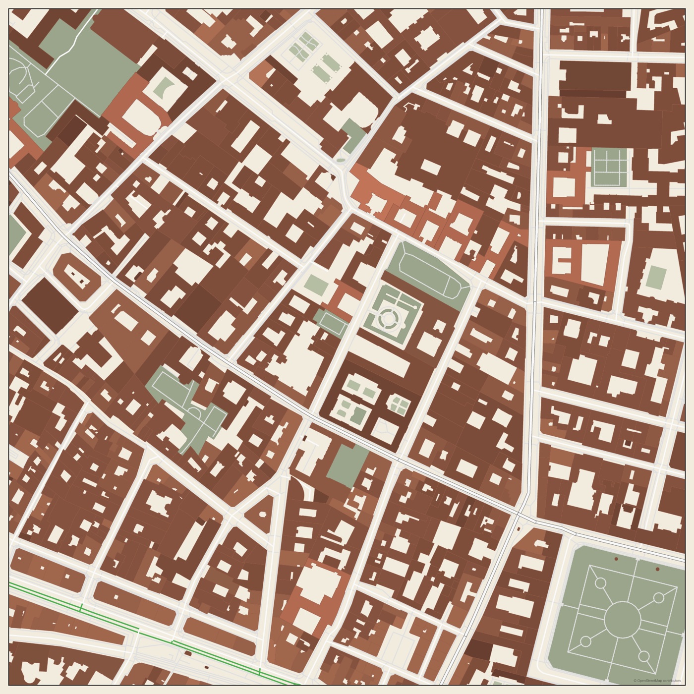
Real example / Le Marais, Paris
Layered SVG maps for architecture
Start with mapped context, then edit the drawing instead of tracing it again.
No login for the sample. SVG + preview + source notes. Custom exports follow current plan limits.
Try the workflow
- Search for your site in Create and choose a useful study extent.
- Inspect the map preview and choose an SVG export when you need editable geometry.
- Open the SVG in your vector editor. Inspect its groups, change styling and add your own annotations.
Watch the relevant steps
What the sample does and does not show
SVG groups and their presentation as editor layers vary between applications. Check scale and grouping in your destination editor; the sample is not a survey.
Map data © OpenStreetMap contributors. This is a fixed real-location example. Review scale, source coverage and assumptions before delivery.
Compare current export plans →