Editable 2D maps
Buildings, streets and landscape on organized layers. Start with a free PNG, then take SVG into Illustrator or DXF into CAD.
Download a real layered sample ↗Explore SVG + DXF →Generate layered SVG maps for Illustrator and 3D models for Rhino, SketchUp & Blender. Edit layers in the live editor and use site analysis tools before export—no GIS skills required.
From location to working files
Buildings, streets and landscape on organized layers. Start with a free PNG, then take SVG into Illustrator or DXF into CAD.
Download a real layered sample ↗Explore SVG + DXF →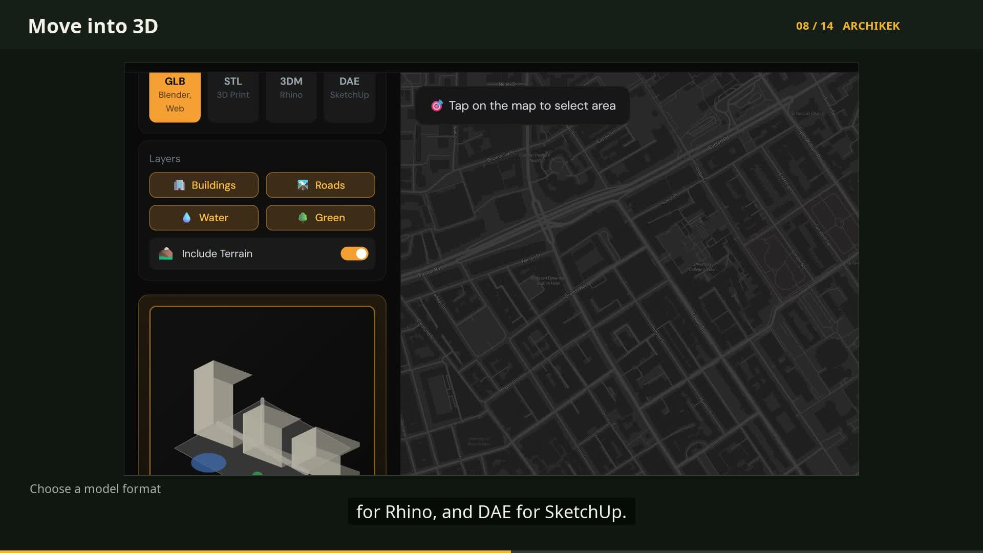 Watch the 3D workflow ↗
Bring surrounding buildings into Rhino, SketchUp or Blender. Flat ground; building heights use available tags or estimates.
Choose a site →Explore Pro →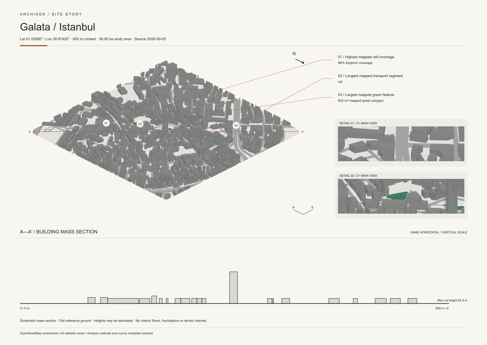
Compose visual analyses, axonometry and a mass section. Choose your theme, refine your board and export SVG, PNG or PDF.
Build in Create →Explore a free sample →Site Story · Included in Pro
Build on a prepared architectural board with visual analyses, axonometry and a mass section.
Explore the sample free. Create your own Site Story with Pro. Data coverage varies by location.
Professional tools designed specifically for architects and urban planners.
Native 3DM for Rhino, DAE for SketchUp, GLB for Blender, STL for 3D printing. Full city models.
Export to SVG for Illustrator or DXF for AutoCAD. Every element on its own layer.
24 analysis themes for 2D maps + 10 material themes for 3D models. From Blueprint to Neon.
No more hours in QGIS or CAD. Select area, pick theme, download. Optimized file sizes.
Tagged or estimated building heights, elevation-based 2D contours, and a flat 3D ground plane.
Any location worldwide. OpenStreetMap data with smart filtering and landmark labels.
From classic Figure Ground to modern Transit Analysis. Each carefully designed for presentations.
Clean B&W for analysis
Mediterranean warmth
Luxury night aesthetic
Classic engineering style
Cyberpunk vibes
Cool minimal tones
+ 18 more themes including Nolli, Schwarzplan, Midnight, Sepia, Pastel, Blueprint, and more
The ArchiKEK edit
Explore map styles, architectural studies and presentation ideas.
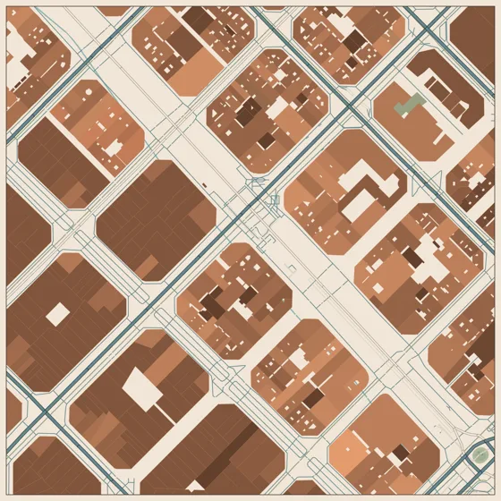
Find your palette.
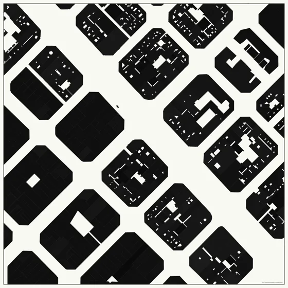
Let the city speak.
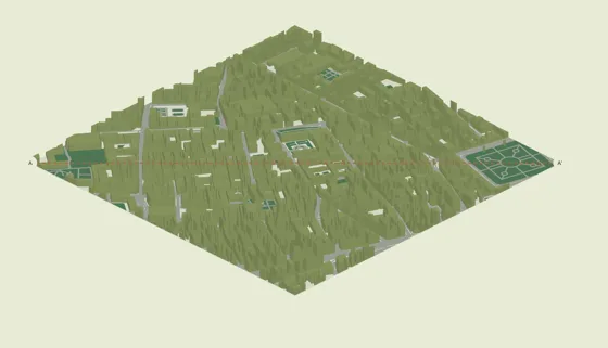
A different perspective.
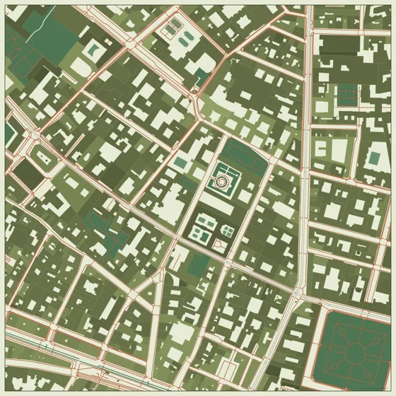
In shades of olive.
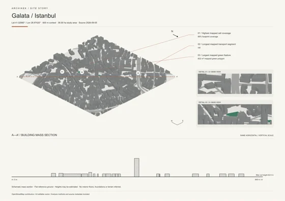
Tell the whole story.
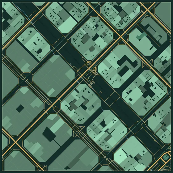
The city, reimagined.
Made something with ArchiKEK? Tag @archikekapp for a chance to be featured.
Explore @archikekapp ↗ArchiKEK examples · Map data © OpenStreetMap contributors.
Plans for your workflow
PNG maps, all themes and color customization.
Create free →Organized, editable 2D layers for Illustrator and CAD.
Compare monthly & yearly →Everything in SVG + DXF, plus 3D models, Site Story and Studio.
Explore Pro plans →See current regional pricing and annual options on the plan page.
Generate 2D maps & 3D models in seconds. Export to Illustrator, Rhino, Blender, and more.
No credit card required • Free forever