Editable 2D maps
Buildings, streets and landscape on organized layers. Start with a free PNG, then take SVG into Illustrator or DXF into CAD.
Download a real layered sample ↗Explore SVG + DXF →PNG exports are always free. Upgrade for SVG, DXF, 3D models, and unlimited access.
One payment for 12 months. Renews annually. Cancel future renewals anytime. Taxes may apply at checkout.
Regional pricing for your region. Regional savings apply to your first yearly payment only. Renewals use the standard yearly price.
For exploring
For designers & students
$46.02 first year; then $47.94 /year
For professionals & architects
$109.38 first year; then $113.94 /year
| Feature | Free | SVG + DXF | Pro |
|---|---|---|---|
| PNG exports / 34 themes | Unlimited | Unlimited | Unlimited |
| Layered SVG + DXF | — | Unlimited | Unlimited |
| 2D contours | ✓ | ✓ | ✓ |
| 3D models / flat ground | — | — | ✓ |
| Studio & saved projects | — | — | ✓ |
| Site Story / analyses / section | — | — | ✓ |
| Board SVG, PNG & PDF | — | — | ✓ |
From location to working files
Buildings, streets and landscape on organized layers. Start with a free PNG, then take SVG into Illustrator or DXF into CAD.
Download a real layered sample ↗Explore SVG + DXF →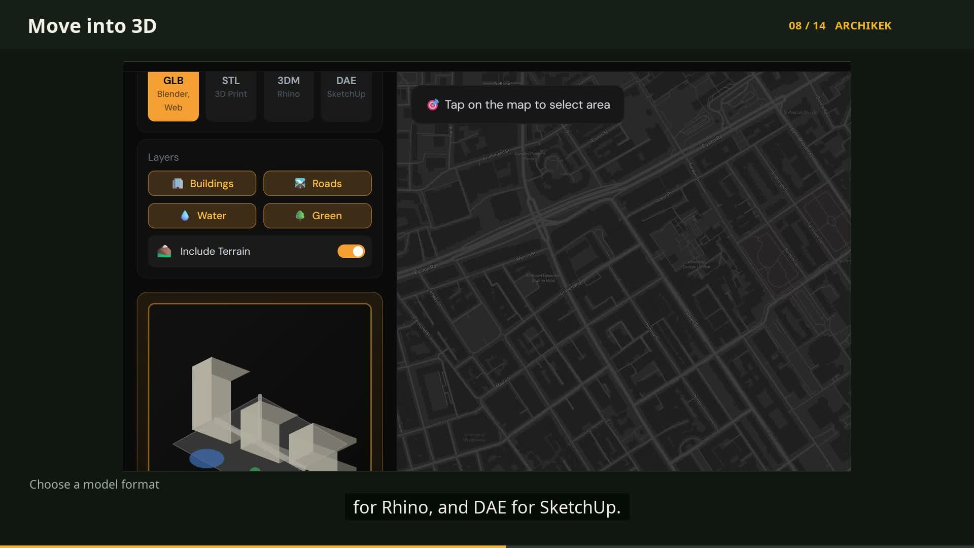 Watch the 3D workflow ↗
Bring surrounding buildings into Rhino, SketchUp or Blender. Flat ground; building heights use available tags or estimates.
Choose a site →Explore Pro →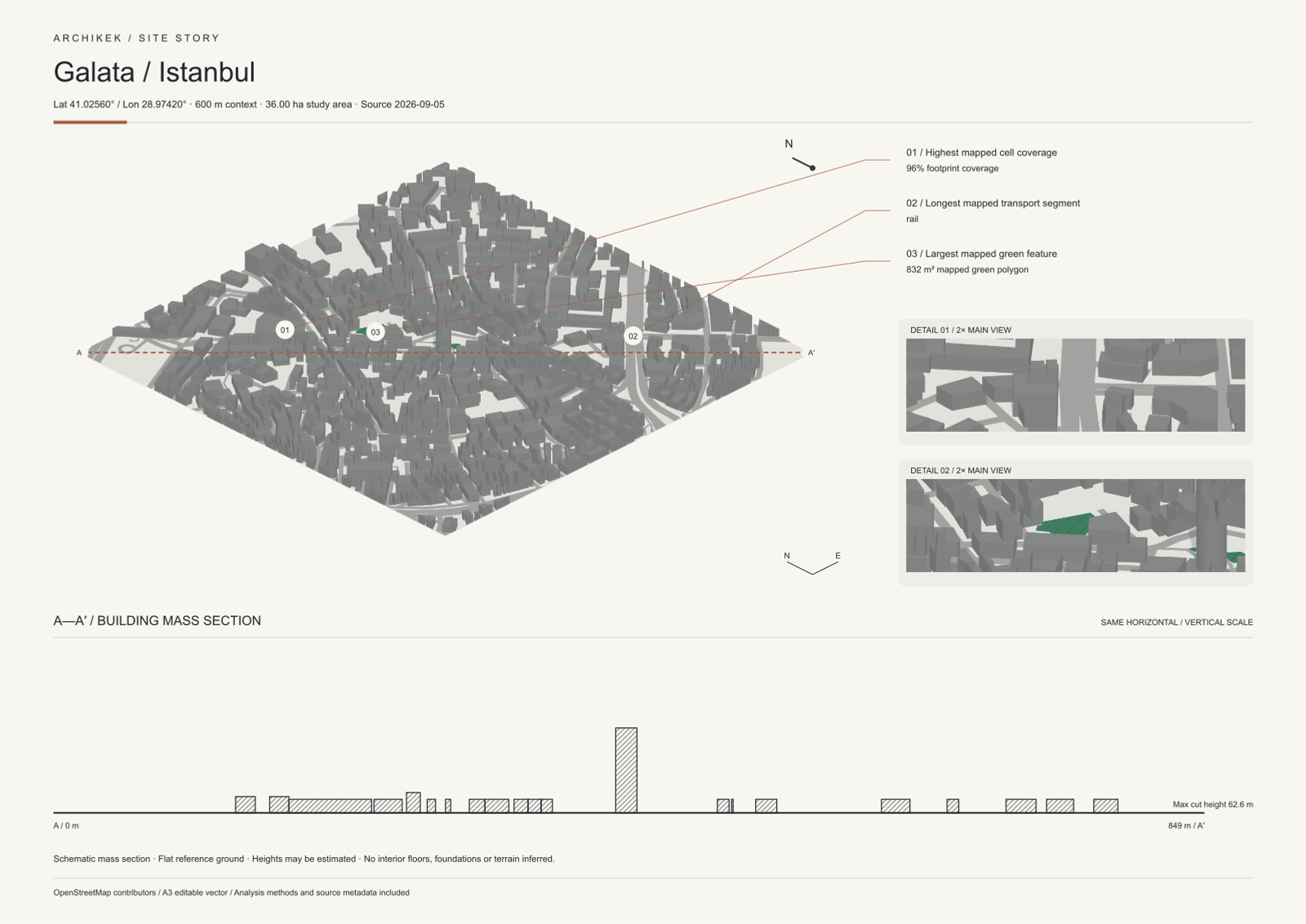
Compose visual analyses, axonometry and a mass section. Choose your theme, refine your board and export SVG, PNG or PDF.
Build in Create →Explore a free sample →Secure payments powered by Lemon Squeezy. VAT may apply.
Yes! PNG exports are completely free with no limits. Create as many maps as you want. SVG and DXF require a subscription.
Professional DXF files with organized layers for buildings, roads, water, green areas, and contours. Fully compatible with AutoCAD, Rhino, and other CAD software.
We export 3DM (Rhino), DAE (SketchUp), GLB (Blender), and STL (for 3D printing). These 3D formats use a flat ground plane. Terrain contours are available in 2D exports; building heights use OSM tags or estimates.
Yes, you can cancel anytime. Your access continues until the end of your billing period.
Free plan is for personal use only. Pro includes full commercial license for client projects, publications, and products.